Google Maps, while very helpful in most things, doesn’t always lead you truly in the Lake District. Plus, if you’re going to be walking, you’ll need a good set of maps (both paper and digital) for finding your way through the maze of winding trails.
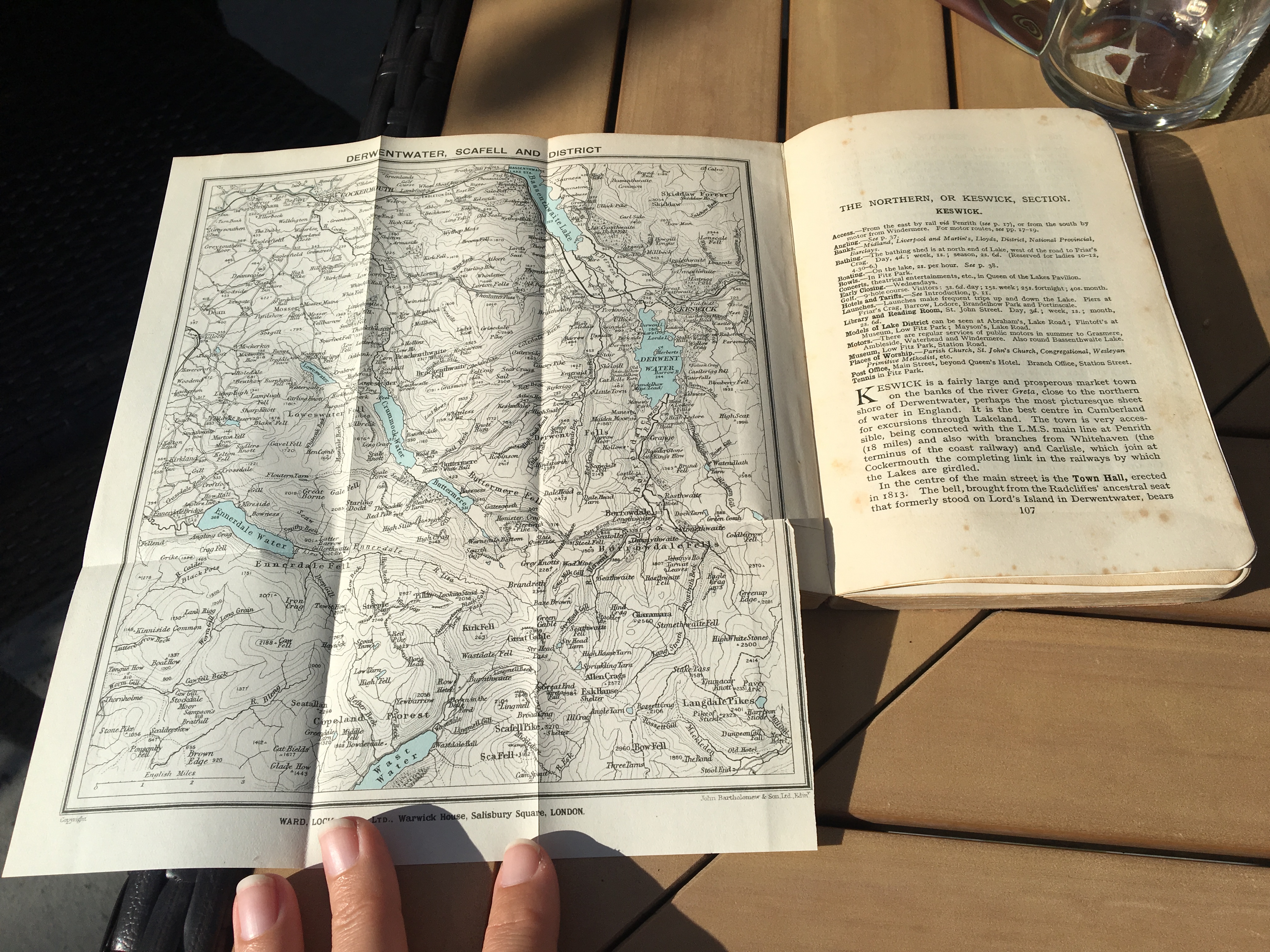
This printed map from the UK’s Ordnance Survey — the Central Lake District Walker’s Map — is indispensable for planning. You can buy it online and have it shipped to you at home (even overseas) or have it delivered to your hotel in the Lakes. You can also buy them easily once you’re in the Lake District. If you are arriving by train to Windermere, for example, the Booth’s grocery store at the train station sells them; you can also usually find them at hiking/outdoors stores. (Many stores also sell a plastic case to help keep your map unfolded to the correct quadrant, and easily at hand.)
If you feel the need to go beyond the Central Lake District map, OS Maps also sells maps for each quadrant of the Lakes, which might be useful if you’re planning to visit the west coast or the eastern-most corner of the District. They also sell a slightly more zoomed-out map which is useful for planning, and for motorists.
Despite this wealth of maps, many of us just end up using various GPS phone apps to navigate the trails. A popular one is Lake District Maps Offline ($2). Once downloaded, it works even if you have data turned off, which is useful for international travelers, and it allows for some basic route planning/saving. One downside: it shows your location as a round blue dot, which doesn’t tell you which direction you’re facing.
Other apps include the OS Maps app and Gaia (which has the added benefit of covering the U.S. as well, and has advanced route-planning features). On both, your location is shown as a small triangle, which is helpful for figuring out which direction you’re facing. Both of these require a subscription; Gaia on a yearly basis and the OS Maps app on a monthly basis (which is helpful if you’re only going to be using it for a couple of weeks).
It’s worth noting that each app shows the same major trails, but some slight differences in the minor trails. A trail that doesn’t exist on one app might show up on another, so it can be useful to look at all three. But if a trail only shows up on one map, it might be very hard to find in real life! Always trust your eyes more than the faint dotted line on the screen.
Though the trails aren’t well marked, the nice thing about the Lakes is that there are virtually no trees in most areas, so you can often see your way back or where you’re going, or at least the general lay of the land, provided there isn’t any fog (in which case navigation gets tricky fast and it’s really important to have a GPS and/or compass skills).
Peakbaggers will benefit from this topographical map of the Wainwrights, which is very helpful for planning (and recording your progress!).

